Where is Coorong National Park?
Located about a 2 hour drive south-east of Adelaide, Coorong National Park protects a wetland of international importance. It is where Australia’s largest river system, the Murray-Darling flows out to the Southern Ocean and is home to over 200 species of birds as well as many migratory birds that arrive each summer.
When is the best time to visit?
The weather is mostly warm and dry during summer and autumn – it’s easy to travel on the roads, great for camping and perfect for beach lovers.
What can I do at Coorong National Park?
Storm Boy for a day – Follow in the footsteps of Storm Boy, Fingerbone and Mr Percival with the Storm Boy inspired Itinerary
Camping – Camping among the Pink Gum forests at Salt Creek from where you can visit the historical salt lakes and take the Ngrugie Ngoppun Walk.
Discover – Viewing the pelican breeding grounds from the Jack Point Observatory between August and February. Pelican Point and Mark Point are also great viewing spots for these majestic birds.
Cruise – Join a boat tour and cruising from Goolwa to the mouth of the Murray River and the Coorong.
Self guided History Tour – The Coorong holds great interest in relation to early European exploration of South Australia. The area was a major section of the overland stock route, mail coach route, migrant route and telegraph line route between Adelaide and Melbourne.
Enjoy a self-guided tour of some highlighted historic locations and enjoy the Coorong, the scenery and its abundant wildlife which amazed early European settlers. A map can be found here
Fishing – There is excellent surf fishing along the Coorong Ocean Beach. The steep beach offers good access to deep gutters along the shore where fish hunt for food. Between the Murray Mouth and Long Point are good spots for boat fishing – try casting a line in the lagoon for the famous Coorong Mullet and Mulloway.
Things to leave at home ….
Furry Friends are only permitted in some areas of the park, Mountain bikes are NOT permitted
Attractions
Chinaman’s Well
A walk around the intricate stone well, associated quarries and eating house ruins provides an insight into the history of the area when the Chinese passed through the Coorong during the gold rush era.
Godfrey’s Landing
Accessible by boat from Goolwa and Hindmarsh Island, Godfrey’s Landing offers a fascinating walk through the sand dunes of the Younghusband Peninsula to the ocean beach near the Murray Mouth
Jack Point
Home of the largest breeding colony of the Australian Pelican, Jack’s Point Observatory allows visitors to observe numerous birds flying back and forth to visit and breed on the nearby islands. Don’t forget your binoculars!
Long Point
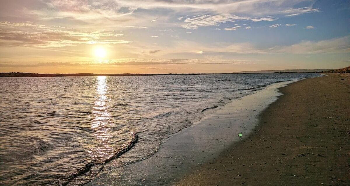
A jetty provides visitors with easy access to their boat to explore the Coorong. Long Point is also a great spot to go fishing as the sun sets over the Coorong lagoon on a calm evening.
Parnka Point
Parnka Point or ‘Hells Gate’ is the narrowest point between the northern and southern Coorong lagoon. It is noted for excellent views up and down the lagoon, and wading birds are commonly seen fossicking in the shallow and sheltered bays nearby.
Pelican Point
Pelican Point offers a great vantage point to see some of the wide variety of birdlife in the park. It is also where Lake Alexandrina enters the Coorong through the Tauwitchere barrage. There is no public access to the barrage.
Salt Creek
The longest walking trail in the Coorong (27km) starts at Salt Creek and extends south to the 42 Mile Crossing. This trail links four other interesting but shorter walks focusing on wildlife, scenery, sand dune systems and the early settlement of the Chinese. Designated camp sites are available along the nearby Loop Road.
42 Mile Crossing
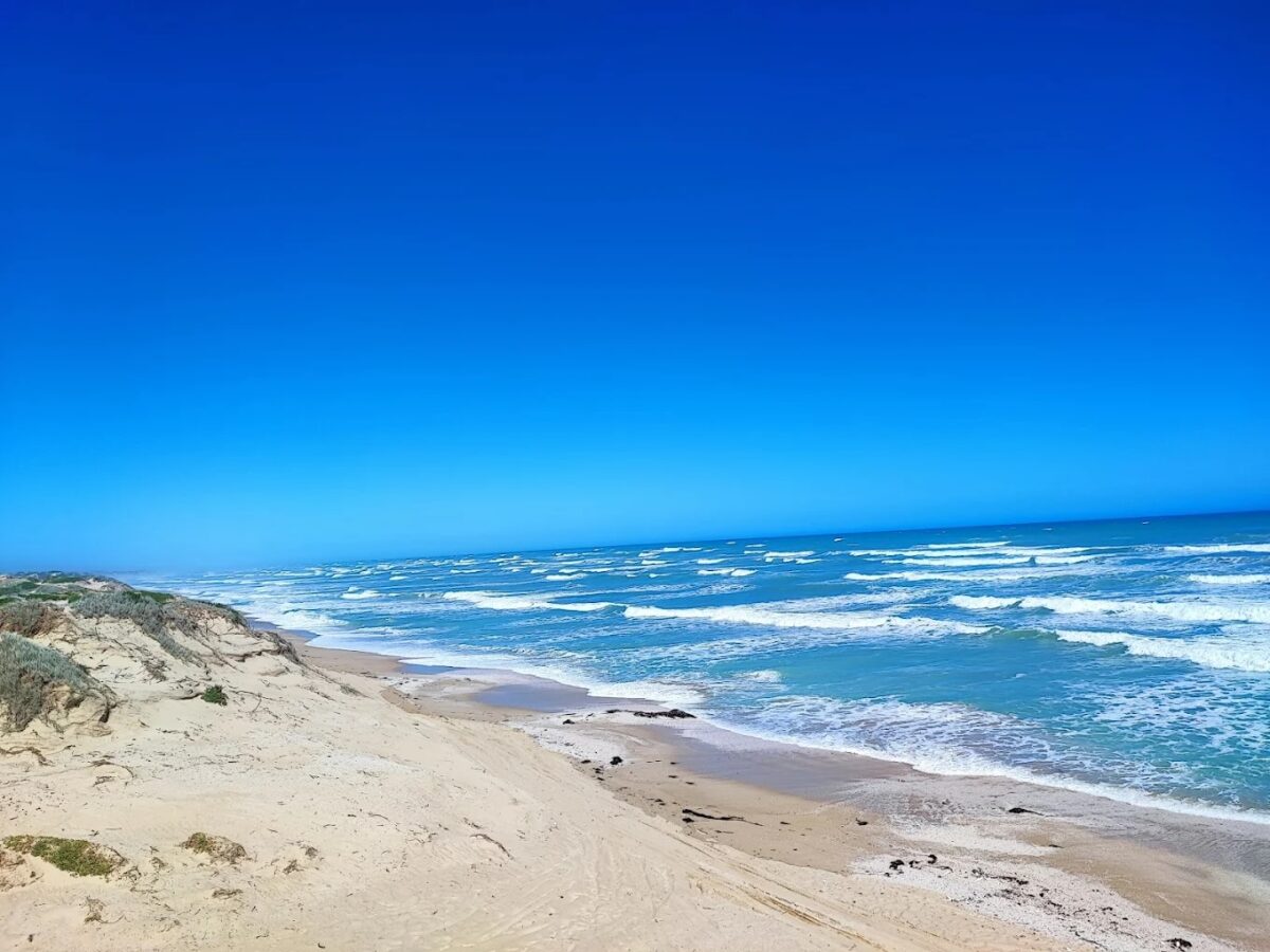
42 Mile Crossing is the closest point for 2WD vehicles to access the beach. A pleasant 20 minute walk through the sand dunes along an easily accessible walking trail from the campground rewards you with the sight and sound of the endless Southern Ocean waves rolling onto the beach. To protect the breeding site of the hooded plover, access to the beach north of Tea Tree Crossing to the Murray Mouth is closed to vehicles from 24 October to 24 December each year.


