")


Find it at: Just off Onkaparinga Valley Road
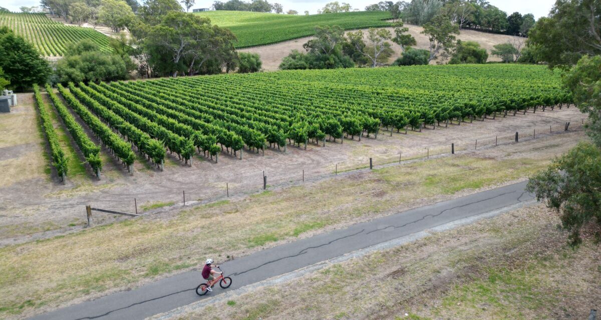
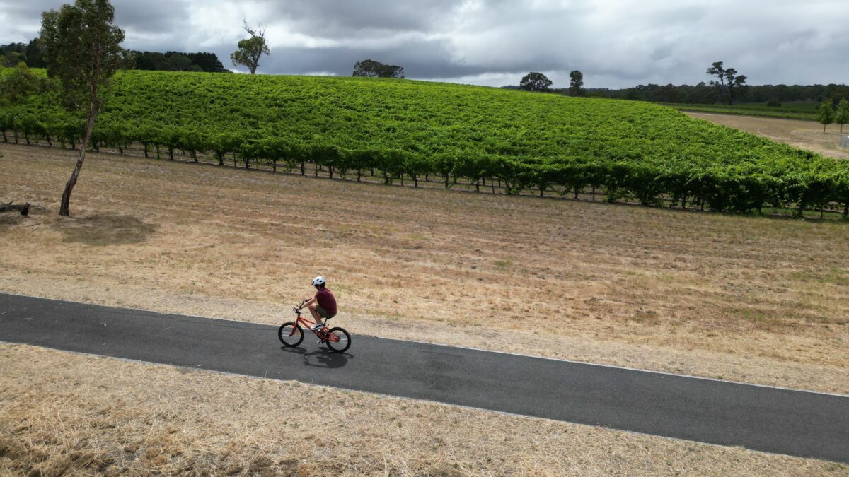
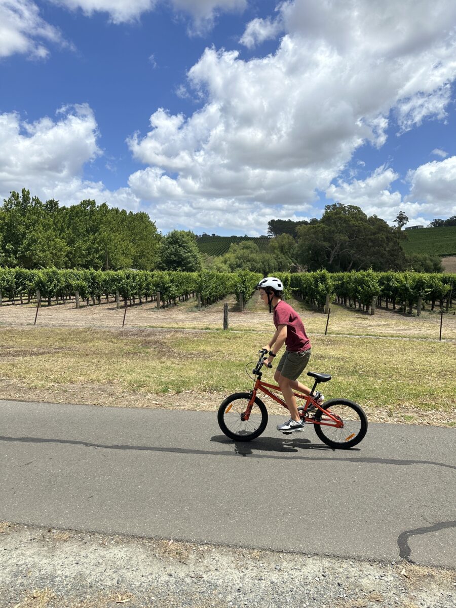
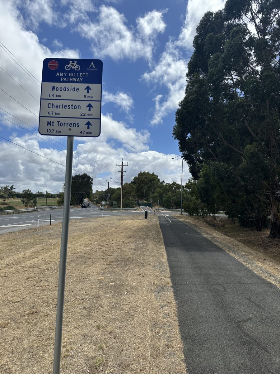
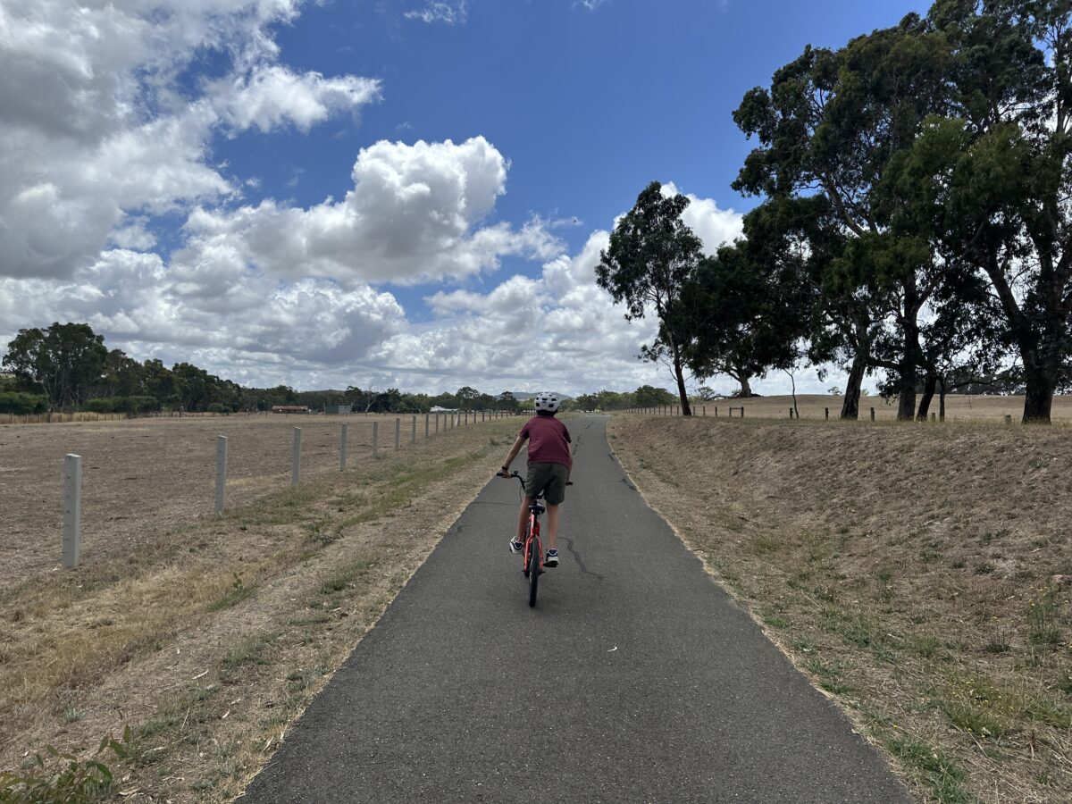
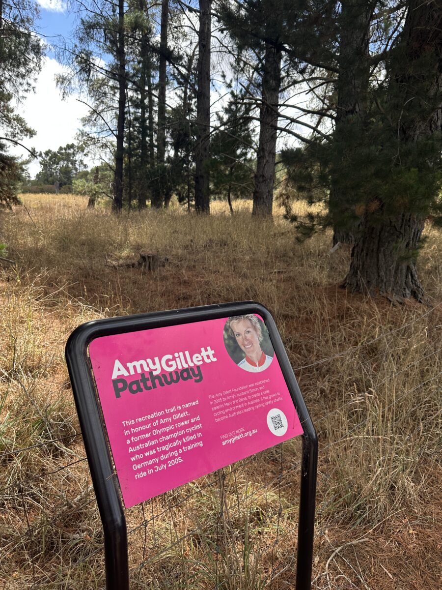
Mountain biking seem a bit too much for you and the kids? Prefer the idea of road riding but concerned about the traffic? The Amy Gillett Bikeway located in the picturesque Adelaide Hills is one of a number of dedicated safe cycling routes around the state to encourage family participation and a healthy active lifestyle.
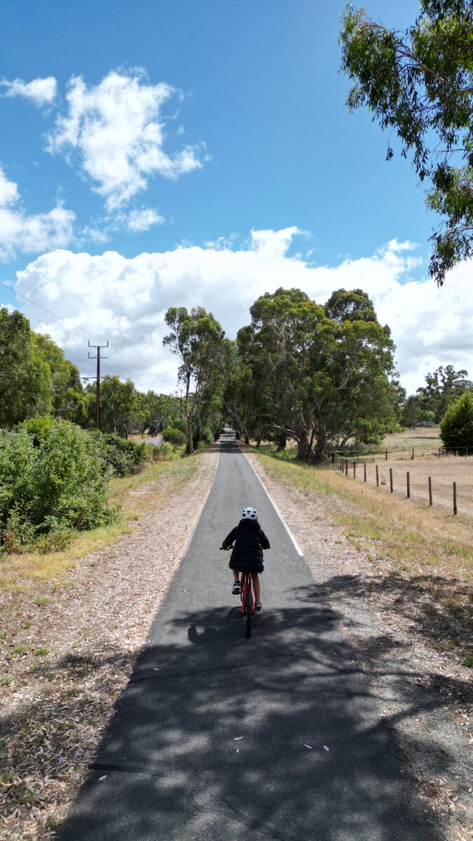
It now stretches from Oakbank to Birdwood after the opening of stage 4 in November 2025, which takes it through through to the intersection with Onkaparinga Valley Road in Birdwood, adding around 5.7km to the overall length of the bikeway. The project extends the Amy Gillett Bikeway from Mount Torrens through to Birdwood, achieving an overall length of 22km along the old railway trail.
The trail extension includes two new creek bridges and an innovative truss bridge over the heritage Burford Hills Rail Bridge. Council is working with local history and railway groups to bring the heritage features and history of the former rail trail to life with interpretive signage and information technology.
If you or the kids haven’t been on a bike for a while, an out and back of 11.7km x2 is probably a bit much. I would recommend doing a supported ride with Nan & Pop dropping you at Mount Torrens and riding back in towards Oakbank. This direction is predominantly downhill and gets the hard work done before you stop for a bakery or picnic lunch at the end.
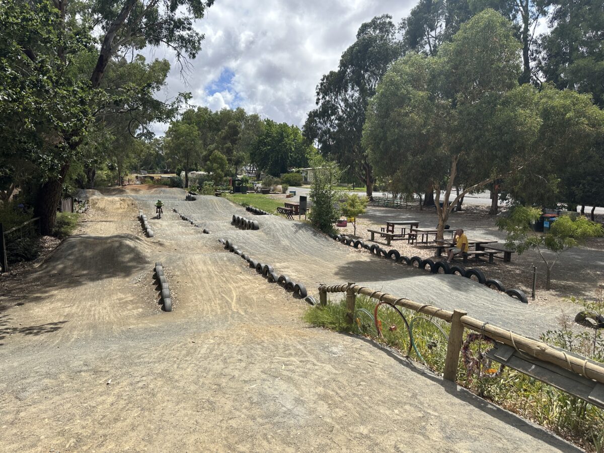
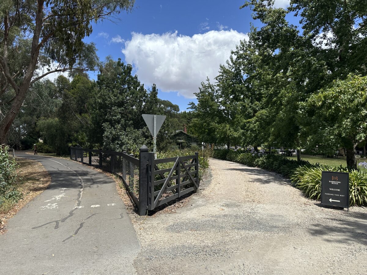
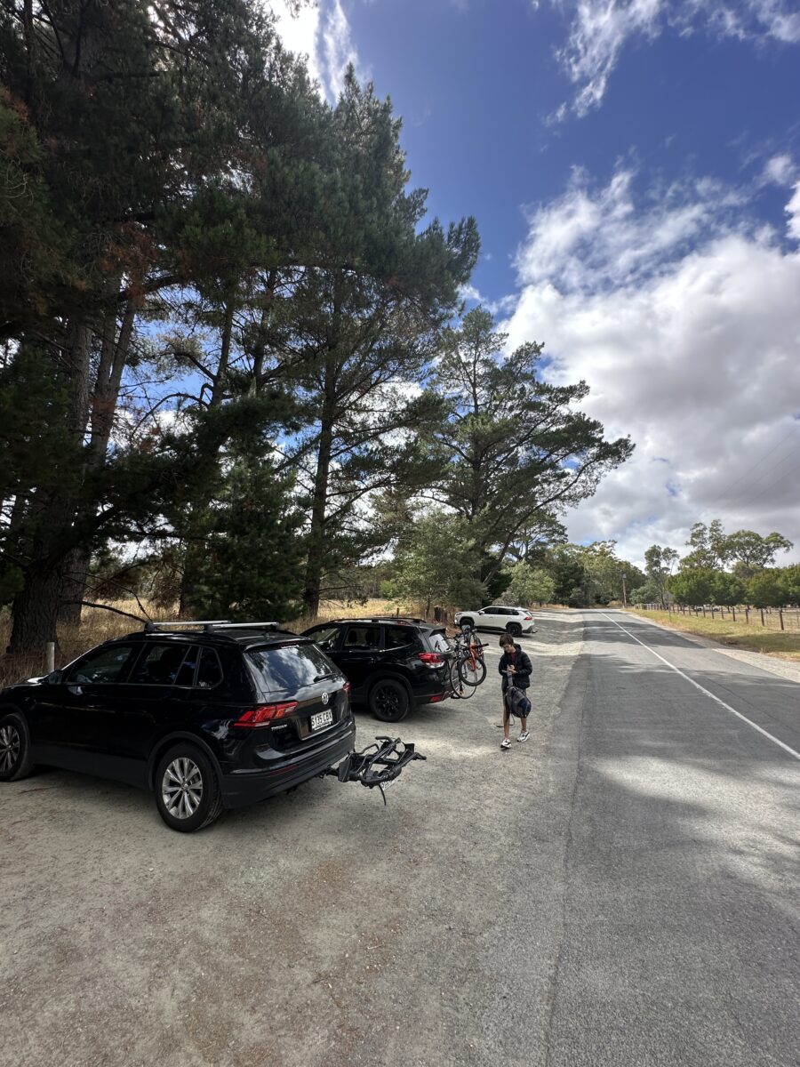
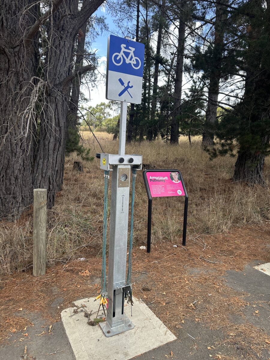
If you are coming from town, simply head up the freeway and jump off at the Bridgewater turn off and you are almost there! We find parking at Gillman Road a really easy starting point (parking pic below), with a bike repair station and drinking fountain there ready to support your ride. We have done a few variations of this ride, with the Gillman Road Oakbank to Charleston and back taking about 18km and roughly 2 hours including rest stops. There is a nice playground at Charleston (Find it here) but Woodside is a better option for a cafe/snack pit stop. We also love the Woodside BMX track (the bikeway travels right past it) for a rest stop and the kids can do a few laps if they want.
There are so many stunning spots in the Adelaide Hills to really make a day of it when you hit up the bikeway.
- Why not visit the famous Melba’s Chocolate Factory at Woodside
- Find a family friendly place to eat in the Adelaide Hills here.
- Kids not tired yet? We have plenty of beautiful hills playgrounds you can find here.
Trail forks have all the biking terrain specifics to get your head around here!
You might also be interested in
-

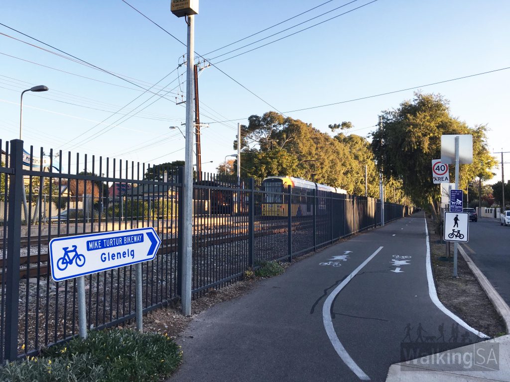
The Mike Turtur Bikeway is a 9.5km one way and follows the Glenelg tramline from South Terrace, Adelaide to Glenelg. It's a shared use trail for bikes and walkers so please share nicely! It's bitumen, wide and flat and apart from a couple of spots where it joins up with a footpath, it's mainly a dedicated path including a bridge over South Rd, making it a great one for kids. It's well sign posted and and there's a couple of playground stops along the way at Plympton Oval and Forrestville Reserve as well as plenty of seating to stop and have a break. You can also pop into Unley Pool on a hot day for a cool down and keep your eyes out for the giant giraffe down the Glenelg end of the path. Image credit: Walking SA Near Morphettville, the trail connects with the Westside Bikeway, a 7.6km trail along a linear park between Morphettville back to Mile End, and also the Sturt River Linear Park which heads south-east. The trail is named after a local cyclist, Michael Turtur, who competed in the Olympic Games and three Commonwealth Games winning a total of five medals. For more images and…
-

Find it near Karinya Rotary Park, Eden Hills [wpgmza id="138" cat="1" marker="881" zoom="16"]
-

This Coastal Walk is a collaborative effort between 6 local councils to create a 70km walking and cycling path along the Adelaide coastline that is continuous, from North Haven to Sellicks Beach. The path has most of the sections developed for both walkers and cyclists (still under development in some areas). It is shared access and you can walk or cycle and it is accessible for wheelchairs and prams. One of the wonders of Adelaide is being able to take a coastal walk of this distance and enjoy a dip in the ocean in summer as you go, or a coffee at a café if its winter! Here are sections you can walk and cycle today: North Haven to Semaphore- 7.2kmSemaphore to Grange - 7.6kmGrange to Henley Square - 2.0kmHenley Square to Glenelg - 7.5kmGlenelg to Brighton - 4.2kmBrighton to Hallett Cove - 8.8kmHallett Cove to northern boundary of Port Stanvac - 2.5kmSouthern boundary of Port Stanvac to Port Noarlunga - 3.6kmPort Noarlunga to Moana - 6.5kmMoana to Maslin Beach - 4.3kmMaslin Beach to Willunga - 4.1kmWillunga to Sellicks Beach - 9.1km For more info visit www.southaustraliantrails.com/trails/coast-park-path